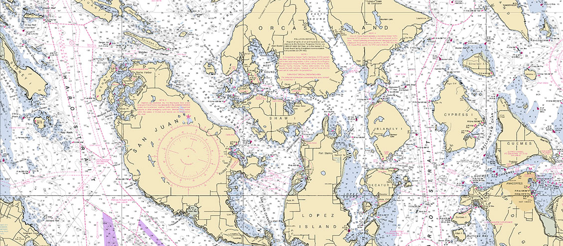
Charts: Essential Tools for Navigation
On October 21st, NOAA Announced an end to traditional paper charts. What does this mean for the kayaking community? Paper charts are one of the essential tools for marine navigation. NOAA has been printing paper charts for mariners for over 150 years but with the increasing use of GPS and other electronic devices, the demand for the paper charts has decreased and NOAA has decided to get out of the printing business. Instead it will rely on private vendors to sell and print the "Print on Demand" paper charts.
Print On Demand is a great service because the chart you get is current and up to date, not a chart that has been sitting on a shelf for the past 10 years collecting dust, waiting to be sold. Some vendors will even print onto waterproof paper. So while NOAA is no longer printing your nautical chart, you will still be able to purchase one.
Print on Demand charts can be purchased through several local retailers here in the northwest. Captains Nautical, in Seattle, and West Marine Stores both offer Print On Demand services. I have purchased Print on Demand charts from Captains Nautical and their turn around time has been less than a week from order to delivery at my house.
Beyond the Print on Demand options, You can download, view and print from your personal computer the ENTIRE catalog of NOAA Nautical charts for free! NOAA has even prepared BookletCharts in the form of a PDF that breaks down a single large chart into small normal pages for easy printing, all for FREE!
Here is the link to NOAA's official press release: http://www.noaanews.noaa.gov/stories2013/20131022_nauticalcharts.html
![]() FAQ lithographic chart announcement.pdf177.88 KB
FAQ lithographic chart announcement.pdf177.88 KB